intermediate
Oxford, England, United KingdomPort Meadow & Wolvercote Mill Stream
Oxford's classic river swim: Wolvercote Mill Stream, a side stream of the Thames at the northern end of Port Meadow, a short walk from the Godstow Road car park, where up to 400 people swim and paddle on hot days. It became a designated bathing water in 2022 but is rated Poor, so check the weekly sample results and storm-overflow map, and stay out after rain.
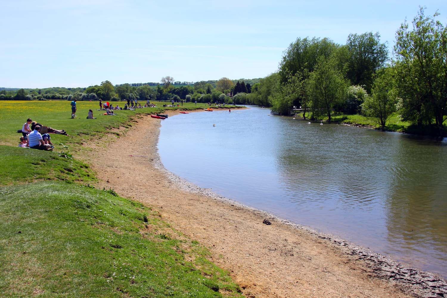
Photo: Steve Daniels · CC BY-SA 2.0
Latest reading · SwimScore 81/100 (Get in) for a typical swimmer: air 14°C, wind 10 km/h, UV 0. Updated .
Know before you go
- Best conditions
- Long dry spells in summer, when bacteria levels are lowest, and when no storm overflows are reported upstream.
- Getting in
- Free, open-access common land managed by Oxford City Council; swimming is at your own risk. The council does not recommend swimming in the main Thames along Port Meadow, which is not a designated bathing area, because of water quality and submerged objects.
- Parking & transport
- Car park off Godstow Road at the north end of the meadow (near OX2 8PU); a second, charged car park is off Walton Well Road at the south end (OX2 6ED).
- Lifeguards
- None.
- Water quality
- Wolvercote Mill Stream was designated a bathing water in 2022 and was classified Poor by the Environment Agency in 2024 and 2025. The EA samples weekly from May to September, with results posted about five days later; quality is much worse after rain, when sewage and runoff reach the stream.
- Season
- The monitored bathing season runs May to September; the meadow is open all year and sometimes floods in winter.
- Who swims here
- The Oxford Rivers Project (Oxford City Council, Thames21, The Rivers Trust and Thames Water) won bathing-water status after a community campaign; a 2021 survey counted 1,093 bathers over 45 days.
- Watch for
- Poor water quality after rain (sewage and runoff); risk of stomach illness and Weil's disease
- Submerged objects such as bikes and trolleys
- Currents that strengthen with rainfall upstream
- Cold water shock in deep water
- Injuries and deaths from jumping off bridges
- Boat traffic, including rowing and sailing craft
- Facilities
- Public toilets near the site, including baby changing · Lifebelt · Picnic benches and authorised barbecue spots near the Godstow Road entrance · Play park within about 200 m · Pubs and a village shop in Wolvercote
Sources: oxford.gov.uk, oxford.gov.uk, oxford.gov.uk, consult.defra.gov.uk, ciwem.org, en.wikipedia.org, assets.publishing.service.gov.uk
Safety Information
Community Reports
How was your swim?
How accurate were the predicted conditions?
What were actual conditions like?
What SwimScore would you give it?
—
Details
- Location
- Oxford, England, United Kingdom
- Type
- river
- Difficulty
- intermediate
- Coordinates
- 51.7807, -1.2960