Bridgeport, South Yuba River State Park
Bridgeport is the headquarters of South Yuba River State Park, where the river passes under the 1862 covered bridge, the longest surviving single-span wooden covered bridge in the world. Kneebone Beach and deeper swimming holes among the rocks lie a short walk upriver. Spring runoff is cold and swift, so save your swims for late summer and borrow a loaner life jacket at the station.

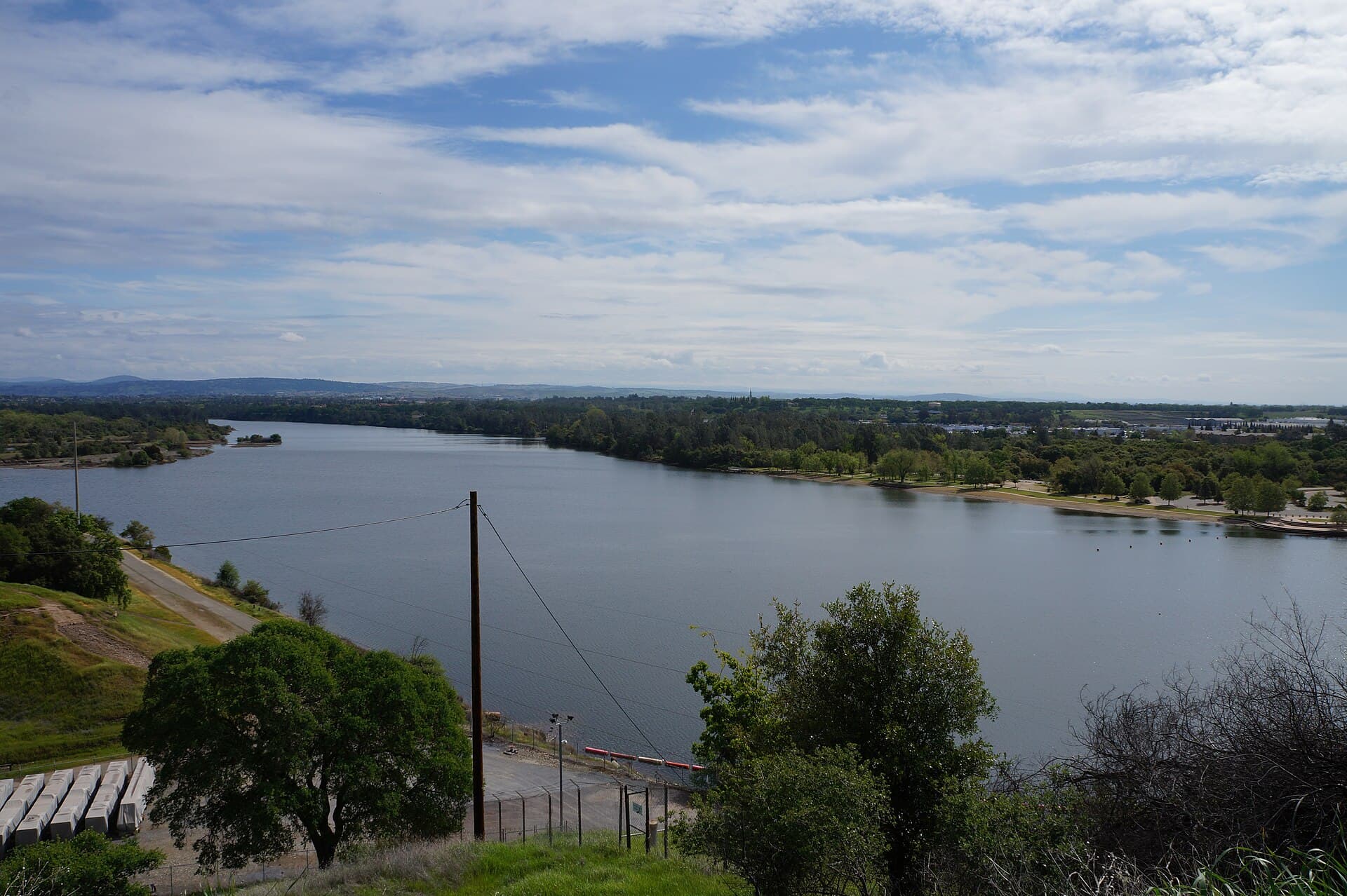
Photo: Frank Schulenburg · CC BY-SA 4.0
Latest reading · SwimScore 85/100 (Get in) for a typical swimmer: air 33°C, wind 10 km/h, UV 7. Updated .
Know before you go
- Best conditions
- Late summer, after spring runoff has passed.
- Getting in
- South Yuba River State Park headquarters at 17660 Pleasant Valley Road, Penn Valley; day use only, sunrise to sunset. Vehicle day use is $10 (fees can change). Swimming holes and Kneebone Beach are a short hike upriver from the Pleasant Valley Road bridge. Dogs are not allowed at Family Beach (from the covered bridge to 200 feet downstream).
- Parking & transport
- Park lots at Bridgeport (day-use fee).
- Lifeguards
- None; State Parks urges caution because moving water can turn dangerous very quickly.
- Water quality
- The South Yuba River Citizens League samples Bridgeport for E. coli and total coliform on the second Saturday of each month through the summer and posts results to the Waterkeeper Swim Guide app.
- Season
- Late summer; spring runoff is not safe for swimming.
- Who swims here
- SYRCL's volunteer River Ambassadors greet visitors at Bridgeport and the Highway 49 crossing on Saturdays from Memorial Day to Labor Day, and SYRCL volunteers sample Bridgeport for bacteria each summer.
- Watch for
- Swift, cold snowmelt currents in spring and early summer
- Slips and falls on rocks
- High wildfire danger in summer; no fires, alcohol, glass or barbecues
- Facilities
- Visitor center (Wednesday-Saturday, 10 a.m.-4 p.m., staff permitting) · Restrooms · Drinking water · Picnic areas · Loaner life jacket station · Emergency call box · Historic covered bridge and trails
Sources: parks.ca.gov, southyubariverstatepark.org, en.wikipedia.org, nevadacountyca.gov, yubariver.org, calparks.org
Hand-checked spots nearby



Safety Information
Community Reports
How was your swim?
How accurate were the predicted conditions?
What were actual conditions like?
What SwimScore would you give it?
Details
- Location
- Penn Valley, CA, United States
- Type
- river
- Difficulty
- intermediate
- Coordinates
- 39.2920, -121.1946